Visitatore

From Trentemoult to Saint-Lupien: fishing village and Roman town

A walk that starts at the Navibus pier, winds through Trentemoult’s lanes and quays, then heads up to the centre of Rezé and ends at Saint-Lupien chapel, on the site of the Roman town of Ratiatum.

Practical details

Distance
3.8 km3.8 km one way. Walking back to the pier adds 2.3 km (a 6.1 km loop).
Duration
About 1 hour walking, 1 h 30 with stops
Start
Trentemoult-Sablières pier (Navibus N1/N2)
Finish
Saint-Lupien chapel, Rezé

Getting there

  • Navibus N1 from Gare Maritime (about 8 min) or N2 from Hangar à Bananes and Bas-Chantenay, Trentemoult-Sablières stop. Free at weekends.
  • Buses 30 and 36 (Californie stop), Trentemoult-Sablières park-and-ride (rue de la Californie), Naolib bike station.

Return

  • By bus: line 30 from Mairie de Rezé to Trentemoult.
  • On foot: back via rue Piguet and quai Surcouf to the pier (2.3 km).

See

  • Lanes and fishermen’s houses
  • Trentemoult’s quays and harbour
  • Roman Signer’s Le Pendule
  • Rezé town centre
  • Saint-Lupien chapel and the remains of Ratiatum
  • Le Chronographe

Do

  • A break on a terrace on the quays
  • The Saturday morning market, quai Surcouf
  • Le Chronographe: exhibitions and tours (times on lechronographe.nantesmetropole.fr)
  • A picnic near Saint-Lupien
Open in Google Maps

Solid line: the way there. Dots: the walk back.

Open the walk in Google Maps
  1. 1

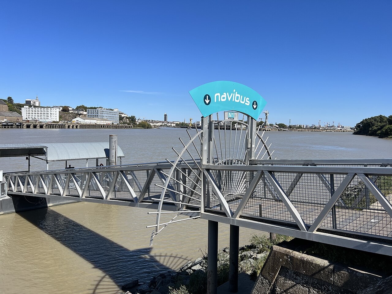
    Start: Trentemoult-Sablières pier
    François de Dijon – CC BY-SA 4.0 – via Wikimedia Commons

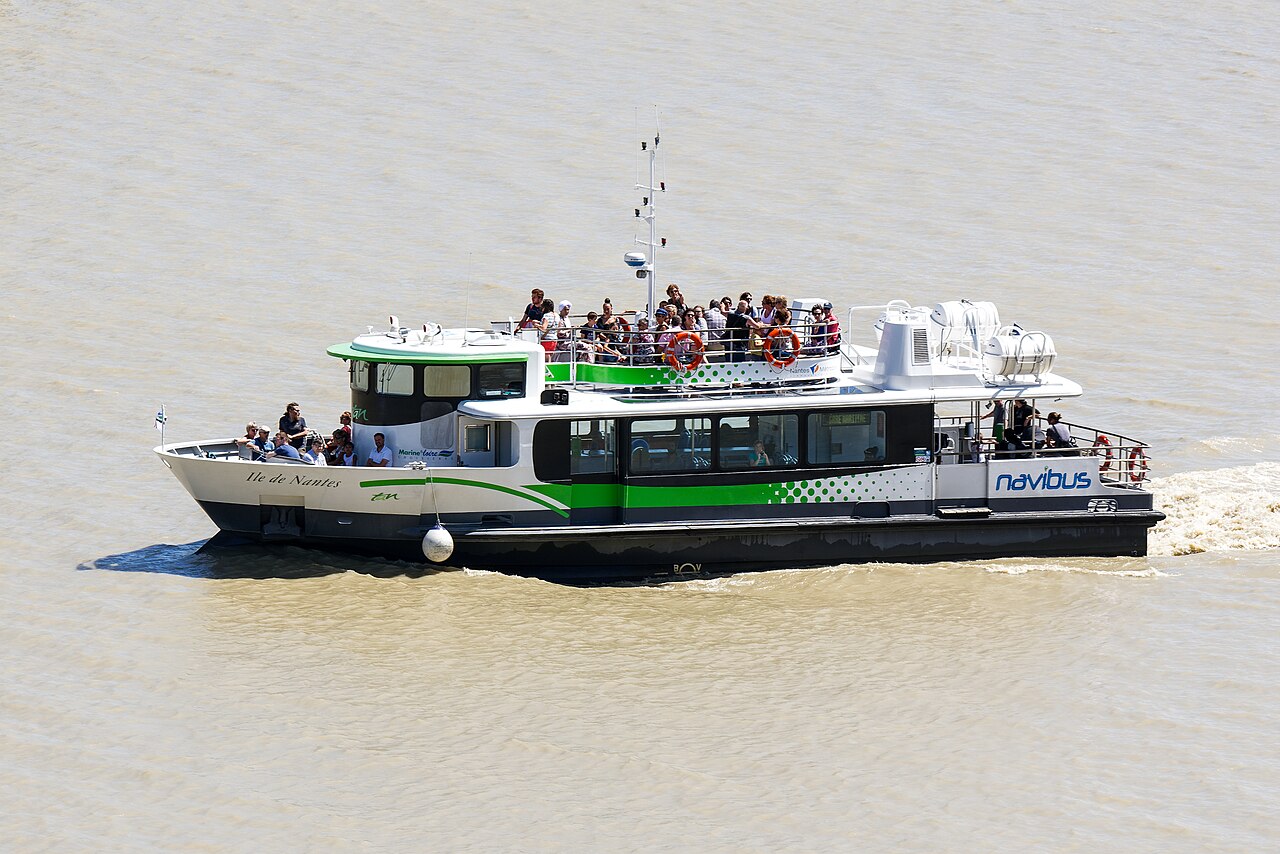
    Step off the Navibus (or leave the car at the park-and-ride next door). Follow the big slipway east and enter the old village at place des Filets.

    Did you know?

    • Since 12 November 2025, Navibus N1 (Gare Maritime) and N2 (Bas-Chantenay, Hangar à Bananes) leave from here, about 500 m west of the old pontoon.
    • Right next to it, the red former concrete plant has carried Roman Signer’s Le Pendule since 2009 (Estuaire trail). It stops in strong wind.

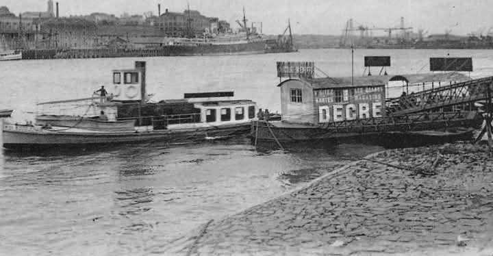
    The Roquios, ancestors of the Navibus, crossed from 1887 to 1958. Read
  2. 2

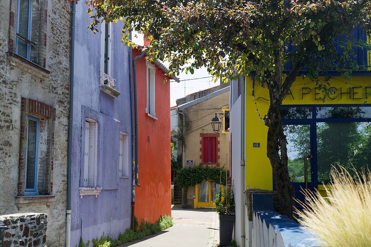
    The lanes: rue Bruneau, rue Raymond-Soulas, rue Roiné

    Rémih – CC BY-SA 4.0 – via Wikimedia Commons

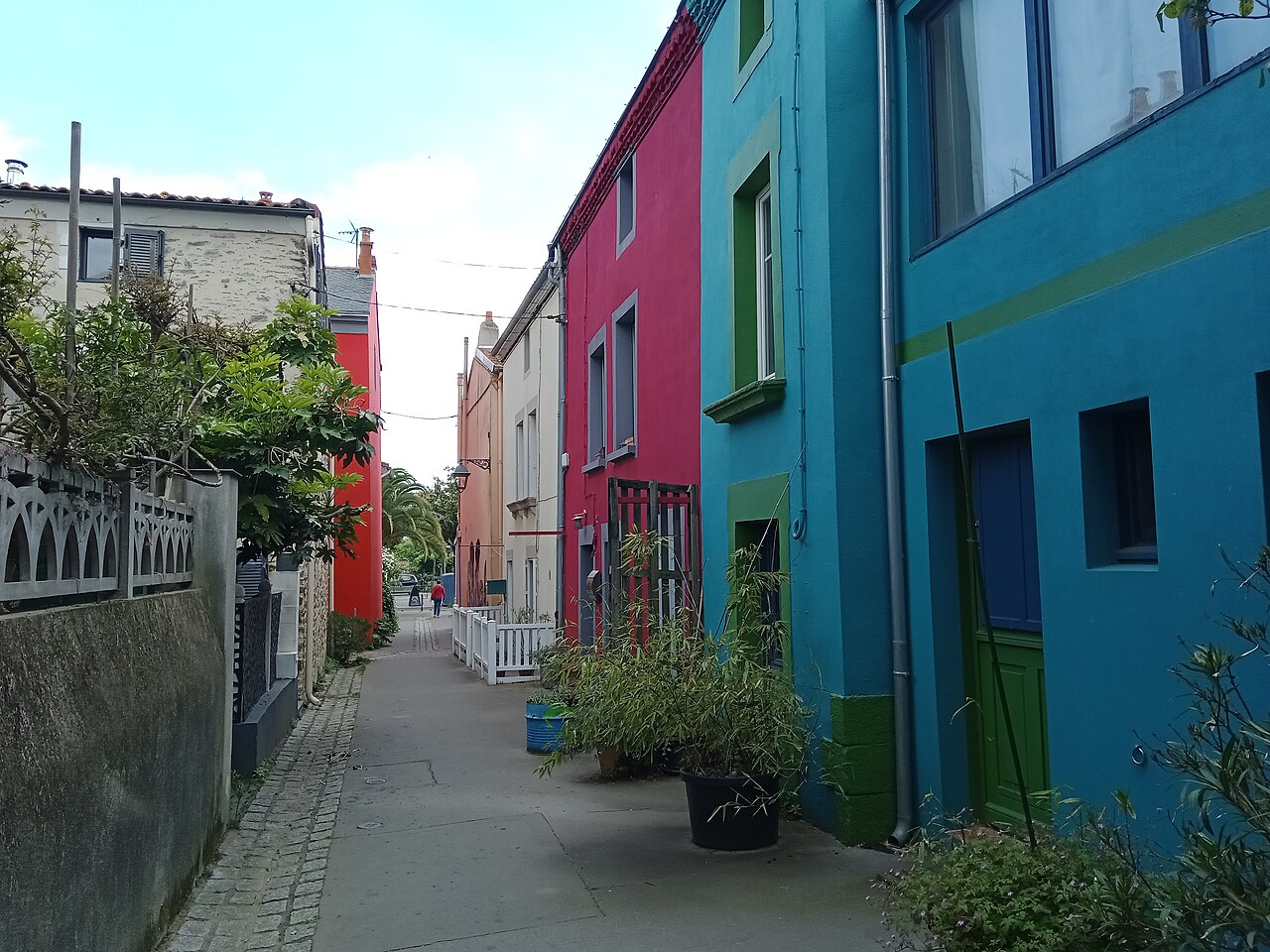
    From place des Filets, slip into the narrow, colourful lanes. Make a small loop through rue Bruneau, rue Raymond-Soulas and rue Roiné, and feel free to get lost in the alleys and little squares.

    Did you know?

    • The fishermen’s houses usually have three levels: the floodable ground floor was a store, people lived above. The attic could open onto the neighbour’s, so people could visit when the Loire rose.
    • The bright façades date from the 1990s; before that only the shutters got the leftover boat paint.

    The colours only date from 1998! Read

  3. 3

    Rue du Port

    Eagertourist – CC0 – via Wikimedia Commons

    Rue du Port leads back down to the river. Tall, tightly packed houses, outside stairs and flower pots: this is the heart of the fishing village.

    Did you know?

    • In 1397 John IV granted a monopoly on seine fishing in the Loire to the islands of Rezé (including Trentemoult), Bouguenais and Sainte-Croix.
  4. 4

    The Loire bank, quai Marcel-Boissard

    franek2 – CC BY-SA 3.0 – via Wikimedia Commons

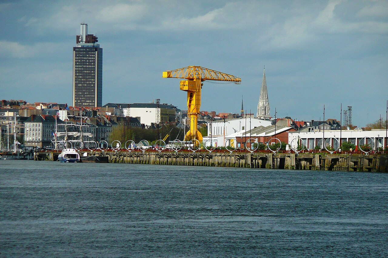
    Reach the Loire and follow it east along quai Marcel-Boissard, with its terraces and its view of Nantes, the yellow crane and the Île de Nantes.

    Did you know?

    • Quai Marcel-Boissard was built between 1860 and 1888 to hold back floods. The last great floods people remember were in 1910 and 1935.
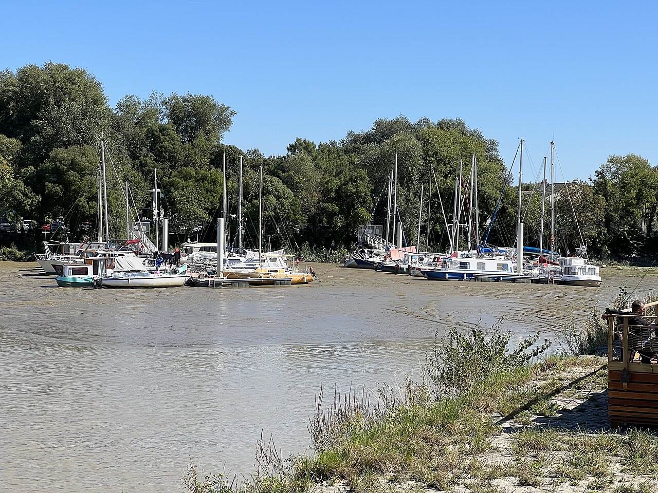
    • The Loire is tidal up to here: at low tide the boats settle on the mud.

    The outside stairs are a reminder that the ground floor was often flooded. Read

  5. 5

    The old Roquios pontoon

    Unknown author – Public domain – via Wikimedia Commons
    Chabe01 – CC BY-SA 4.0 – via Wikimedia Commons

    This is where the ferries to Nantes used to land. The Trentemoult-Roquios pontoon has been closed to the public since 12 November 2025, but it still tells the story of the crossings.

    Did you know?

    • The roquios, steam boats running from 1887, brought Nantes folk to the regattas and riverside cafés, and took workers to the shipyards. The line stopped in 1970.
    • The crossing came back in 2005 as the Navibus.
  6. 6

    Quai Surcouf and the harbour

    Chabe01 – CC BY-SA 4.0 – via Wikimedia Commons

    Follow quai Surcouf along the marina, as far as the harbour car park.

    Did you know?

    • Quai Surcouf dates from 1850. The marina brought the village back to life in 1979.
    • On Saturdays, 8:30–13:00, an organic producers’ market is held at the harbour park-and-ride, quai Robert-Surcouf.
  7. 7

    Promenade Georges-Colder and rue Piguet

    Unknown author – CC BY-SA 4.0 – via Wikimedia Commons

    Leave the quays by promenade Georges-Colder, then rue Piguet, and head up towards the centre of Rezé.

    Did you know?

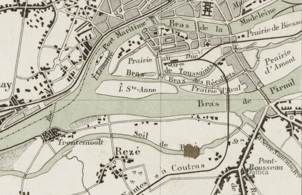
    • Trentemoult was an island: the Seil, an arm of the Loire now filled in, separated it from Rezé. Walking to the town centre, you cross its former bed.

    The Seil, a former branch of the Loire, cut these islands off from the town until 1857. Read

  8. 8

    Rezé centre: Saint-Pierre church and town hall

    Selbymay – CC BY-SA 4.0 – via Wikimedia Commons

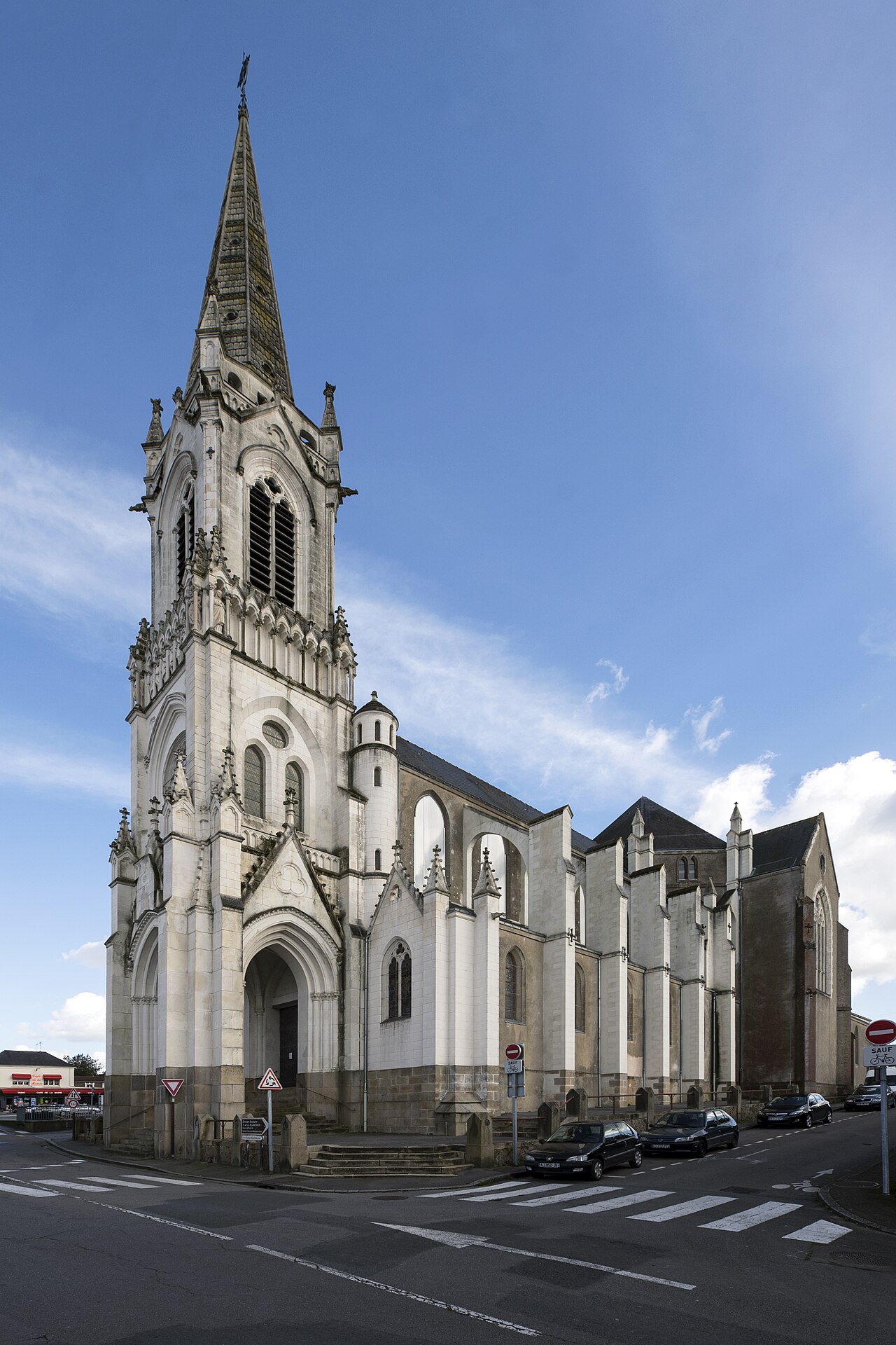
    Along rue Michel-Dupré-Vilaine you reach Saint-Pierre church, then the town hall. Then take avenue des Treilles and chemin Saint-Lupien.

    Did you know?

    • Bus 30 links the Mairie de Rezé stop to Trentemoult: handy for the way back.
  9. 9

    Finish: Saint-Lupien chapel and Ratiatum

    Eagertourist – CC0 – via Wikimedia Commons
    Llann Wé² – CC BY-SA 4.0 – via Wikimedia Commons

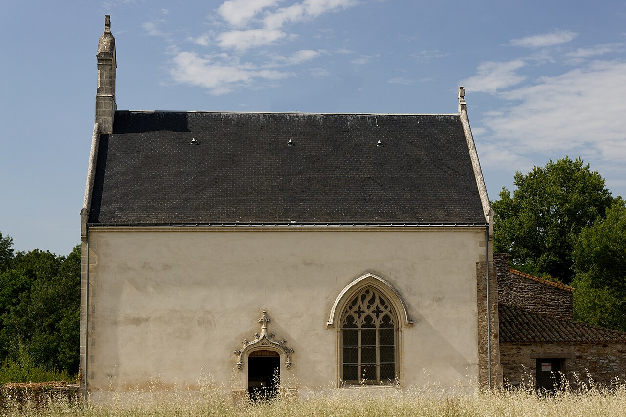
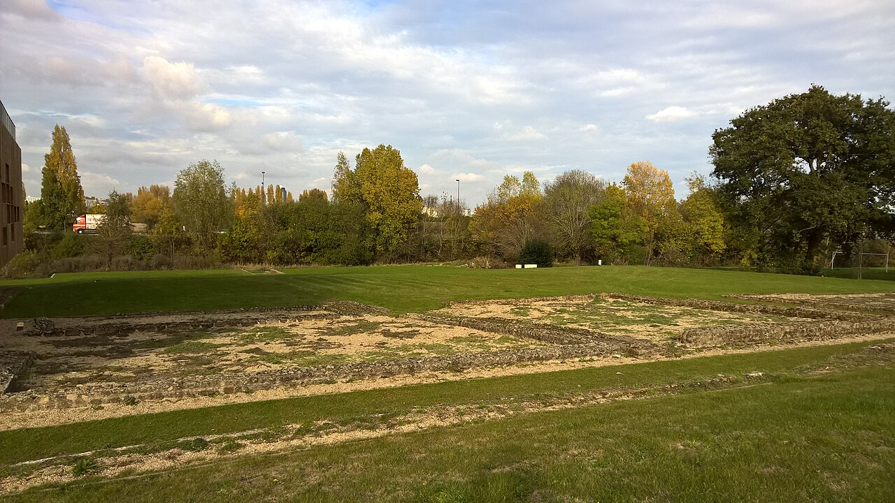
    The path leads down to Saint-Lupien chapel, among the remains of Ratiatum, the ancient town. Le Chronographe, an archaeology interpretation centre, overlooks the site.

    Did you know?

    • Ratiatum was founded by the Pictones early in the Roman Empire, as a port on an arm of the Loire that has since disappeared.
    • Digs from 2005 to 2016 uncovered a 1st-century quay nearly 200 m long. Since 2005 the research has been run with the University of Nantes.
    • Le Chronographe (21 rue Saint-Lupien) opened in 2017.

Source: based on the guidebook « Balades à Nantes », pp. 30-31 (“Rezé, Trentemoult, les villages de pêcheurs”), route reordered and rewritten for trentemoult.com. Map: © OpenStreetMap contributors

Want to go further? The 3 historical walks

Sources: Rezé Histoire no. 97 (April 2026), “3 walks to understand Trentemoult”, Rezé Histoire association – rezehistoire.fr. Texts rewritten by trentemoult.com; for more, get the magazine.

An idea, a suggestion, a complaint? Write to contact@trentemoult.com.