
Trentemoult, Norkiouse and the island of “Madagascard”: when Rezé was an archipelago
 Illustration
· Rezé Mensuel n°157 (mars 2021), p. 20 — Ville de Rezé
North of Rezé, old maps show a small archipelago whose names changed over time: Trentemoult (or Trentemoux), Norkiouse, the Île des Chevaliers… Cut off from the mainland by the Seil, the islands were separated from one another by a watercourse. In 1285, Olive, widow of Mathieu de l'Île, handed lands to the Templars that took the name Île des Chevaliers, with Basse-Île downstream and Haute-Île upstream. A 1698 map calls it the “île de Madagascard”. As the Seil, cut off from the Sèvre as early as the sixth century, gradually dried up, Trentemoult, built on an island of rocky origin, was inhabited from Antiquity, geographer Loïc Ménanteau reminds readers in Rezé Mensuel.
Summary written by trentemoult.com from the cited article. Rights to the original text and photos belong to their authors.
Other news
Le Bonbon Nantes features Trentemoult
 Illustration
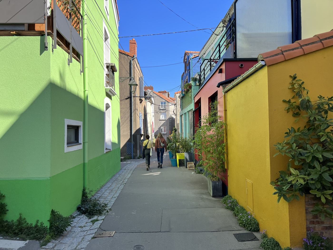
: trentemoult.com Online magazine Le Bonbon Nantes has published a piece on Trentemoult, one of the most photogenic spots around Nantes, and explains where the colours of the façades really come from.
Le Bonbon Nantes
Trentemoult now has its own radio station
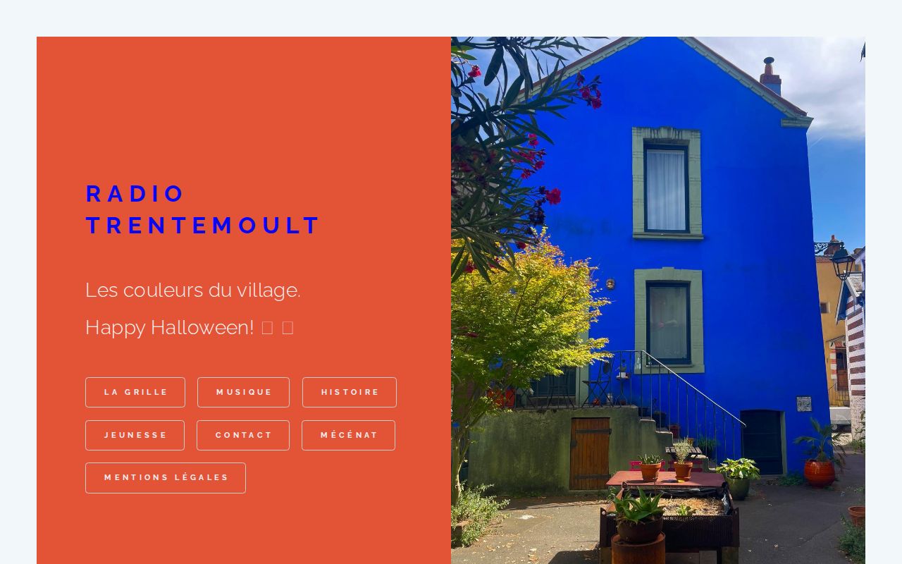
Photo: Radio Trentemoult Radio Trentemoult streams online 24/7, with a 2026-2027 schedule that mixes music, village stories and a show for young children.
Radio Trentemoult
Octobre Rose: FC Nantes shows off its pink shirt in Trentemoult

Photo: FC Nantes For Octobre Rose, FC Nantes held a photo shoot at the Bistrot du Port, with Manon, Chanel and Noémie wearing the pink collector shirt. Half the profits go to two Nantes charities.
FC Nantes